After the first day of our voyage to Belize, we got a new, entirely changed, weather forecast. Winds in the Yucatan Channel would be strong and southerly. We decided to head for Mexico's Isla Mujeres, near Cancun as an intermediate stop. Well, on the last night of the trip the winds and the waves ganged up with a very strong current flowing from the south. We kept getting blown more and more northward of our course. Eventually it became plain that we couldn't reach Isla Mujeres at all.
The choices were (1) to heave-to and wait for better conditions, (2) to head for an alternate anchorage to wait for conditions to change. Since the forecast was for five days of the same weather, heaving-to was not a good choice.
We could have headed for Cabo San Antonio, an island owned by Cuba. However we didn't have permission to enter Cuba and I didn't have any charts of the island.
I chose instead to press westward. Eventually we came to land on the north shore of Yucatan rather than the east shore. We anchored about three miles off the coast. That was as close as we could approach because of water depth. I ran over a fisherman's net approaching the anchorage.

After some sleep, there we sat wondering what to do next. The forecast was for 4 more days of strong southerly winds, followed by 4 days of strong northerly winds. When strong winds blow in the opposite direction of strong currents, it causes mountainous waves and dangerous conditions. I spend time reading more about the weather and the conditions in the Yucatan Channel. It sounded bad. I also recalled a story from Al Hatch, former owner of Tarwathie, who said that he waited 5 weeks in one of these Mexican ports waiting for a break in the weather.
But the breakthrough came in our mental attitude. We had such a marvelous time in the past year cruising, why where we taking such ambitious plans and pushing our sailing experience so quickly? Why were we so independent? Other cruisers use the buddy boat system, where groups of boats sail together for the same destination, sharing experience and keeping an eye out for each other. There was a buddy group in Marathon planning to sail to Rio Dulce in April. Why April and not March? Did they know more than we did? Shouldn't we have waited to go with them?
The solution became clear. It would be more sensible to cruise the US East Coast one more time, then the Bahamas, then the Caribbean, before more distant ports. Those are all easier and very nice destinations. After a few more years of cruising experience we can escalate our ambitions. Having changed our minds in that way, the immediate action plan was obvious. The only places we had paper charts onboard for were Mexico, Belize, Guatemala, and the Florida Keys. So we raised the anchor and set sail back to the Florida Keys where we started.
The 400 mile return trip was interesting. We covered 145 miles the first 24 hours. At one point we entered a current going our way and Libby saw Tarwathie making 10 knots. After that the winds kept dropping. We spent one whole day becalmed. It seemed that we didn't move more than 10 feet the whole day.
All in all, our round trip was 800 miles and took 8 days.
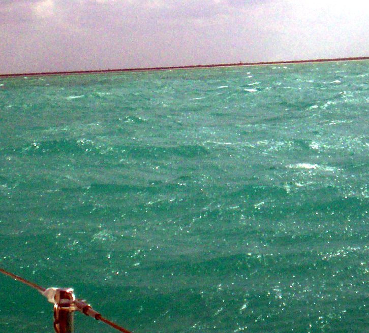
So, what is our souvenir of our trip to Mexico? For now, what is our souvenir of our trip to Mexico? The only thing we have is this fuzzy picture of the unpopulated northern coast of Yucatan. If you look very carefully, you can see a strip of white sand. We never went ashore, and I'm not sure that we even entered the three miles territorial limit.


No comments:
Post a Comment
Type your comments here.
Note: Only a member of this blog may post a comment.